|
|
|||
|
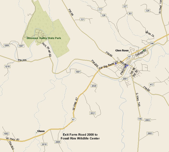
GLEN ROSE MAP
WITH |
|||
| PRAIRIE & LAKES | |||
|
Glen Rose, Texas is the county seat of Somervell County. At last count the population of Glen Rose was 2,122. Glen
Rose rose around a 3 story stone gristmill, built next to the Paluxy
River. At that point in time the town was known as Barnard's Mill.
Then the mill was sold to a man from Dallas, T.C. Jordan, who's wife
was a native of Scotland, who decided to rename the town, Rose Glen.
Later, the townfolk voted to reverse the name and call their town Glen
Rose. |
< |
||
|
|||
|
To drive to Glen Rose from the Dallas/Fort Worth Metroplex, via Granbury, exit Interstate 20, in Fort Worth/Benbrook on to Highway 377. Head southwest on 377 to Granbury, then south from Granbury on Highway 144 to Highway 67. At 67 take a right and in a short distance you will be in Glen Rose. For a non-Granbury route to Glen Rose, head south from Fort Worth on I-35W to Alvarado, exit on to Highway 67, then head west through Cleburne and on to Glen Rose. |
|||
|
|
|||
|
|||
|
|
|||
|
Visit
our Eyes on Texas Blog to make a comment or share info about Glen Rose |
|||
|
|
|||
|
|
|||
| HOME TEXAS TOWNS PARADES | |||
|
|
|||
| BIG BEND COUNTRY | |||
| GULF COAST PINEY WOODS | |||
| PRAIRIE & LAKES HILL COUNTRY | |||
| SOUTH TEXAS PLAINS | |||
| PANHANDLE PLAINS | |||
|
|
|||
| Arlington Dallas Fort Worth | |||
| Grapevine Waco Glen Rose | |||
| Granbury Canton Luling | |||