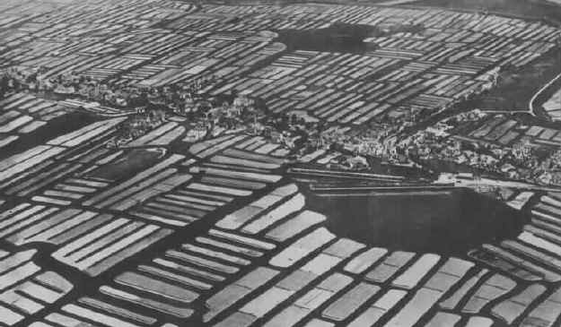
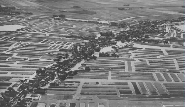
The above two photos show what
the entire area around Noord Sharwoude looked like in Cornelis
Slotemaker's day, had a bird's eye view been available in 1880. The land
around Noord Sharwoude and all of Langedijk consisted of hundreds of
tiny man made islands. The four villages--- Oudcauspel, Noord Sharwoude,
Zuid Sharwoude and Broek op Langedijk were built on a dyke called
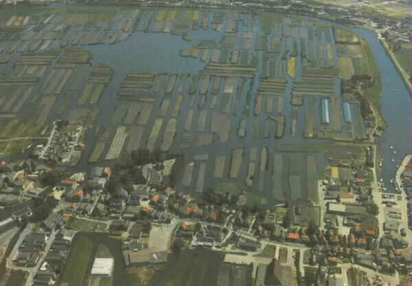
Langedijk. The below photo shows the area around Noord Sharwoude
approximately a century after 1880. Today only the area east of Broek op
Langedijk remains and is protected from further development. The canals
in the surrounding area were filled in several decades ago.